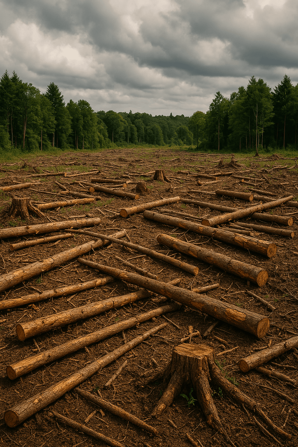
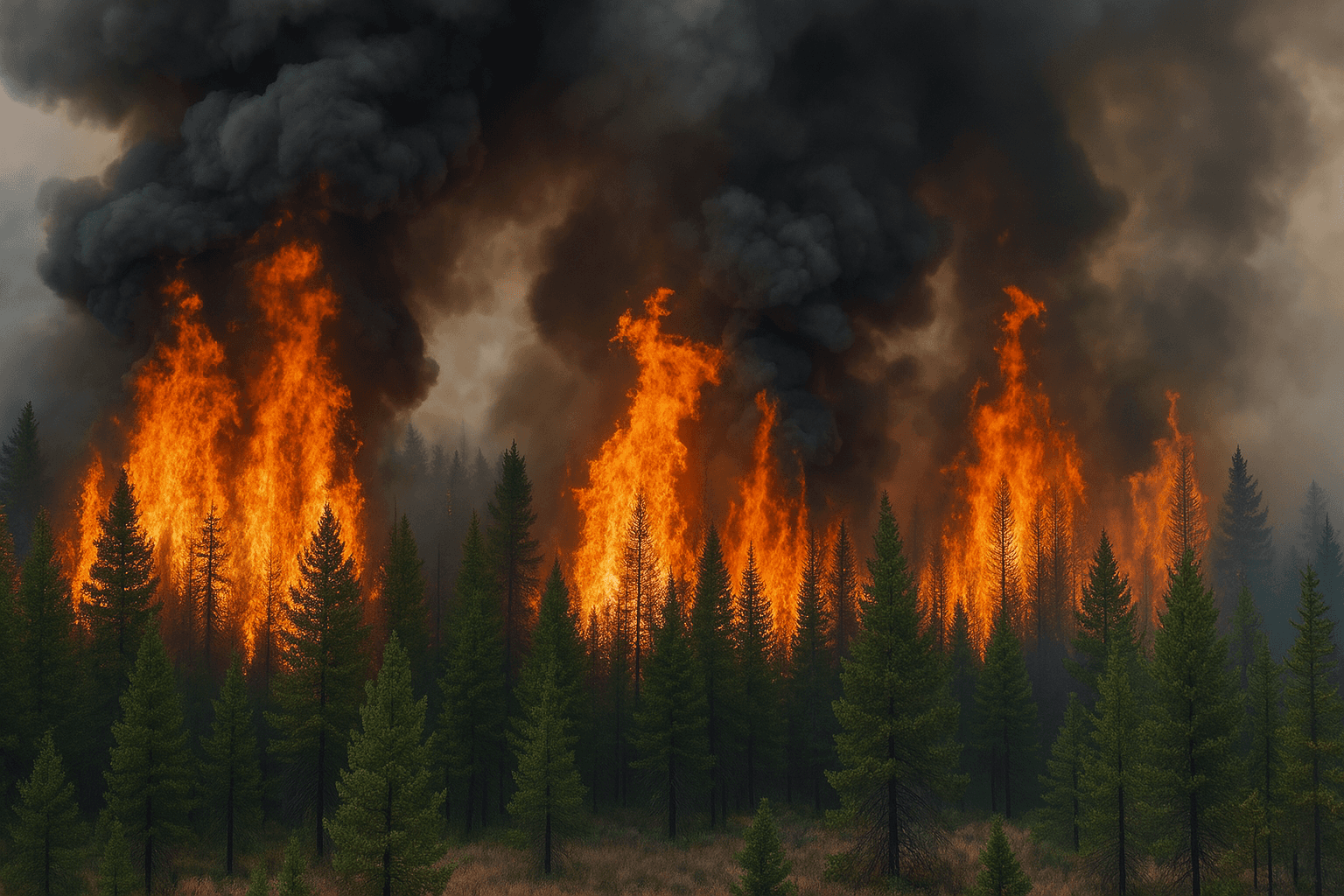
GreenSentinel monitors key environmental indicators using satellite imagery and real-time data. Our AI analyzes these inputs to predict threats like erosion, wildfires, and deforestation and alerts you before the damage happens.
Our solution
You receive clear notifications when and
where to act — before it’s too late.
High-resolution imagery detects
land changes over time.
Our models recognize early patterns that typically lead to disasters.
We track rainfall, heat, wind, and other factors that increase risk.
We track rainfall, heat, wind, and
other factors that increase risk.
You receive clear notifications when and where to act — before it’s too late.
Our models recognize early patterns
that typically lead to disasters.
Our solution
You receive clear notifications when and where to act — before it’s too late.